 Home
Home COVID-19 Information
 Contact
 Search
 Announcements
 Calendar
 News
News About Us
  Community
  Departments
  Government
  Business
  Documents & Forms
  Staff Directory
 Employment Listings
 Pay Utility Bill Online
 View Full Sitemap


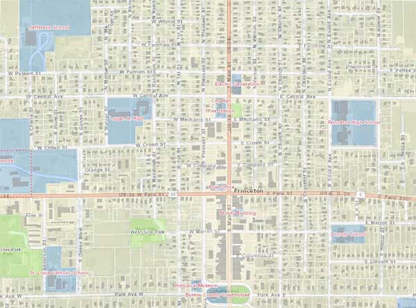
Interactive Mapping & GIS
Online Maps Disclaimer
The City makes no representations or warranties of any kind, including, but not limited to, the fitness of provided information for any particular purpose or use, nor are any such representations or warranties to be implied from the data or information herein. As such, the user assumes all risk for relying on any data; the City, and its employees, officers, and agents, shall not be liable for any loss or damage arising from the use of this information.
The maps below are not optimized for mobile devices
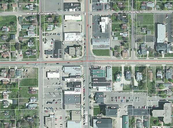


County Parcel and Property Tax Information and Resources
For those looking for aerial photography of various parcels throughout the county along with pertinent information and identification data, visit Bureau County's GIS Database here.
Likewise, additional tax information for properties within Bureau County can found using the Illinois Property Tax database here.